
Our well-used passage chart for the route home. There's about six different passages on this one chart from over the years!
The full crew is here and we're preparing for our chart briefing dockside tonight in the canal by Pam Wall's house, just off the 17th Street Causeway in Ft. Lauderdale. The weather looks marginal and constantly changing, so we're keeping a close eye on that (and keeping options open for a potential detour to Savannah or Charleston).
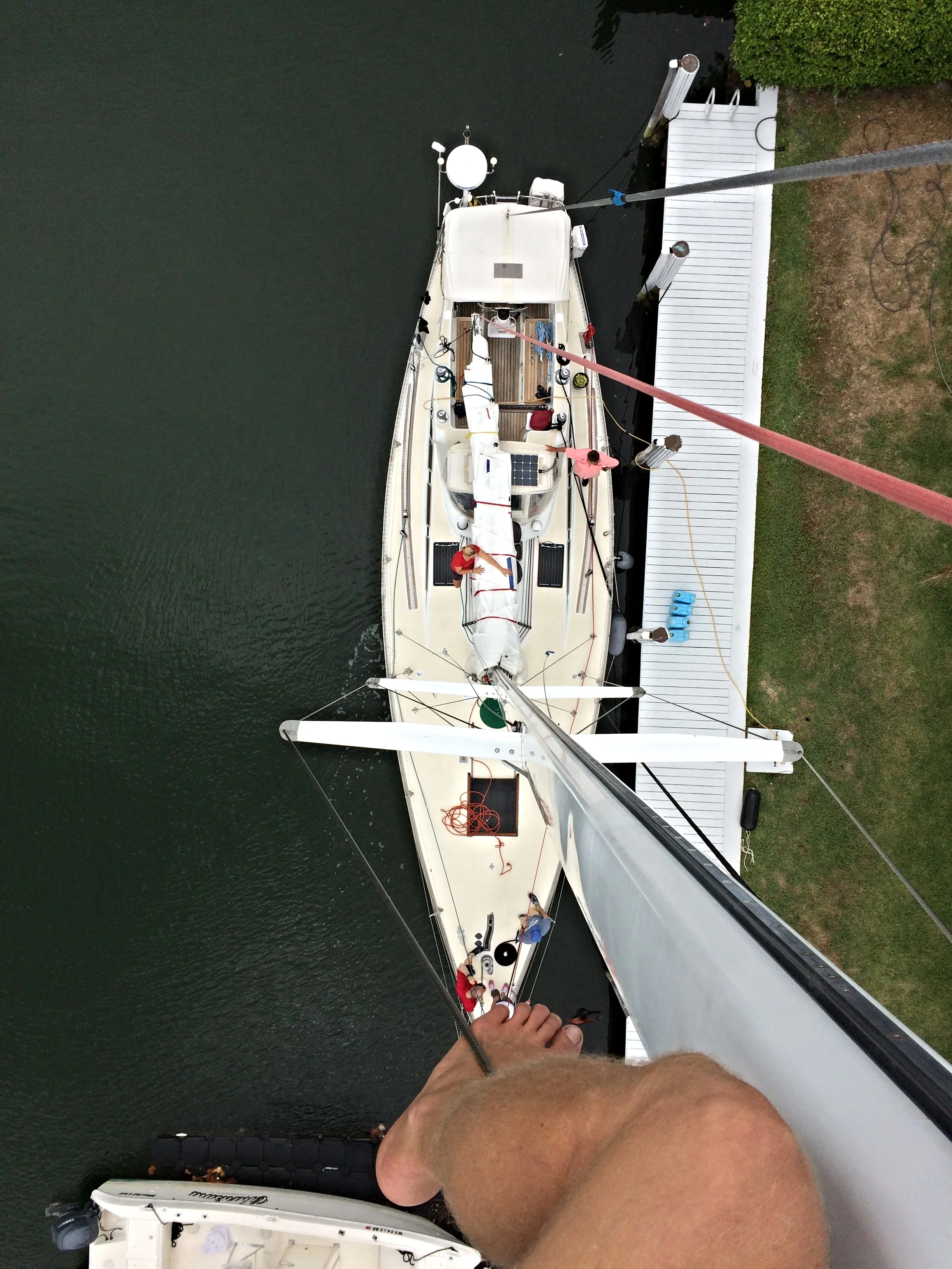
Our crew for our fifth passage of 2016 is five - Daniel & Isabelle from Toronto; Bruce from Minneapolis; Chris from New Jersey; and Wayne from Ohio. Plus of course Mia and I!
Isbjorn has been sitting here for a month, so she (and we) are itching to get back to sea. The superstitious among you might wonder why we're tempting fate by departing on a Friday. I'm wondering myself to be honest! Etienne convinced me the other night - 'that's for the weak-minded!' he said! Okay, I'll take his word for it.

We're getting weather forecasts now going forward from Weather Routing Inc (aka 'WRI'). They do all the forecasting for the rallies Mia and I have worked for for so long, and I've come to know and respect Jeremy and David at WRI - they're forecasts are usually accurate, they are low on drama, and they are very good about understanding what kinds of conditions we are happy to handle. They're not giving us weather routing, that's something else entirely. But they're consulting us on departure windows and offering on-demand opinions on big-picture forecasting and weather systems, particular during our Atlantic crossing coming up this summer. I'm very much looking forward to working with them on our own boat. Here's a brief sample of what I mean, from an email I received today:
I don’t think there will be any concerns with a tropical system, but a strong low will exit off Hatteras on the night of the 21st, and move NE’ward to the Canadian Maritimes through the 23rd. Another secondary low may form near 31N/71W early 23rd, but this would be non-tropical, and will move NE’ward to the Gulf of Maine through the 24th. Towards the end of next week/weekend, a trough from the Windward Pass NE’ward may spin off into a low well NE of the Bahamas, which may move NE’ward, but that is over 10 days out and lots could change. So in short, we see no tropical threats to the East Coast for the next 7-10 days.
This will be the last post before departure - stay tuned to 59-north.com/tracking to follow our passage north. Liz will also be posting updates that I send in over the sat phone.
